GIS (Geographic Information System)
ILF provides the following GIS services:
Spatial Analyses
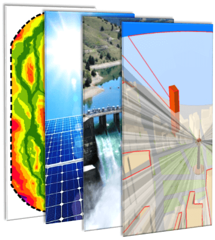
GIS can certainly be used to quickly produce maps and drawings, but what distinguishes GIS from other programs is the ability to perform spatial analyses. ILF has developed state-of-the-art applications for spatial analyses in the following areas:
- Corridor analyses for all kinds of linear infrastructure projects, e.g. oil and gas pipelines, road and railway connections, high-voltage power lines, etc.
- Hydropower potential studies for different types of hydroelectric power plants
o Run-of-river plants
o Storage plants
o Pumped storage plants - Solar power potential studies
- Topographic analyses
o Visibility analysis (line of sight / skyline)
o Aspect / slope
o Watersheds / catchment areas / flow direction
GIS Support for Major Projects
- Geodata acquisition and processing
o Orthophotos
o Elevation data
o Authority data - Geodata management
o Central geodatabase (GDB)
o Structured data management
o Efficient metadata handling
o Big data (orthophotos, LiDAR) - Generation of maps and drawings
o Route maps
o Alignment sheets
o Detailed maps
o Typical drawings
o Planning records with hundreds of maps
WebGIS
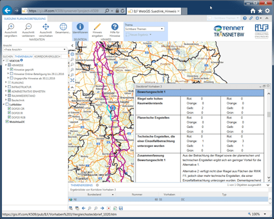
ILF advocates web hosting for major projects in order to allow all authorized project partners to simultaneously access all available information. SharePoint serves as document and information exchange platform and ESRI based WebGIS technology provides the spatial data. All relevant existing and generated geodata are published on WebGIS and can be accessed by authorized users, who are assigned specific user rights depending on their function in the project.
Using WebGIS offers many advantages:
- Quick and easy access to project geodata
- Simple access via Internet Browser
- Consistent use of current data for all project parties to minimize inconsistencies in projects
- Easy communication between project participants working at different locations
- Consistent QA/QC processes
- Effective tools for measuring, printing, and performing attribute queries, etc. available to all users
For additional information, please click here:


